01 · Route builder
Route with context
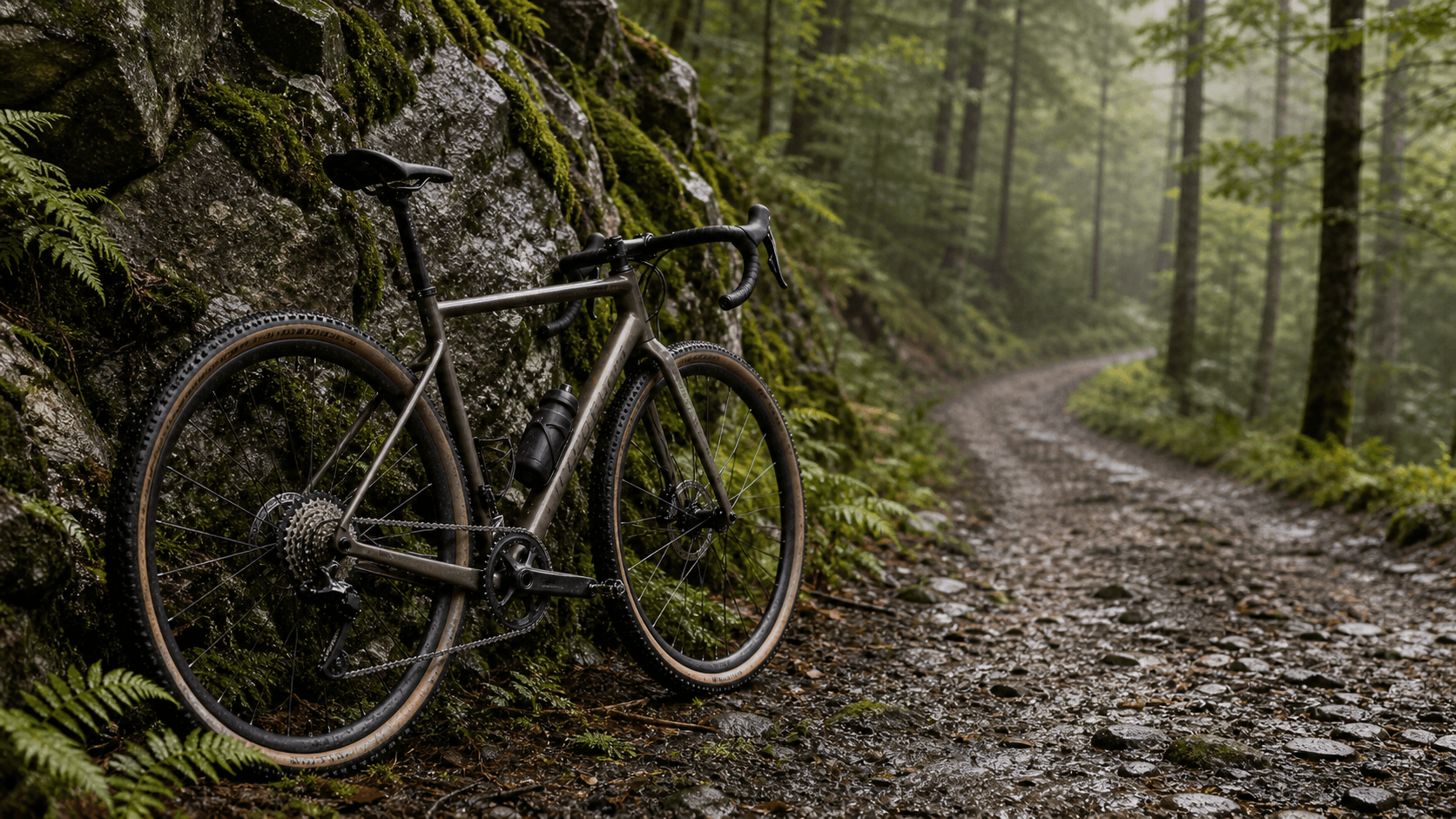
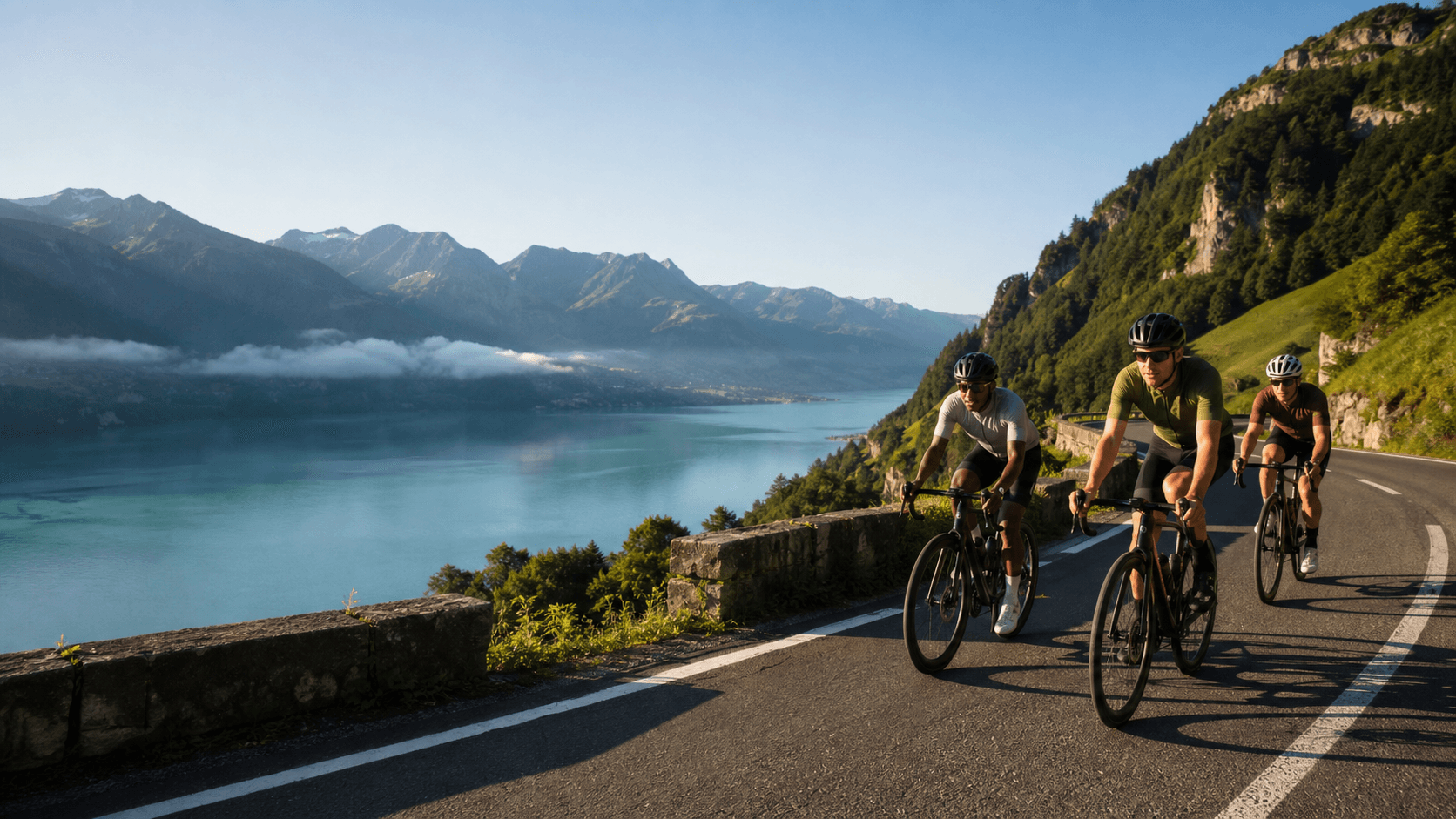
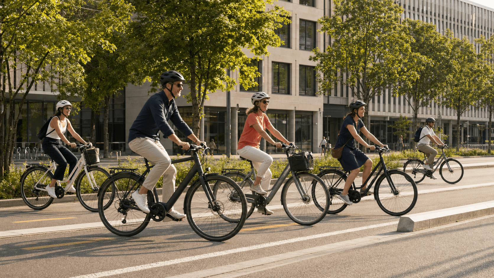
Click to add waypoints and the line snaps to rideable roads and paths as you draw. Every stretch is tagged paved, gravel or trail from OpenStreetMap, and unknown surfaces are shown as unknown.
Surface: 53% paved, 47% gravel. 1.1 km of that is inferred from the road type, not tagged.